Last time, we put down a few assumptions on our world. Before going any farther, I really do need to create the world’s geography, at least in broad strokes.
For that, I like to use HexMapper. It’s a free program with exactly as many features as I need. There are more powerful, more expensive options out there, but I don’t need too many bells and whistles. In any case, let’s fire the program and create a new world map.

Well… let’s create a reasonably-sized world. Five-meter hexes is way, way too high a resolution for a world map. And a world with five times the circumference of Earth and sixteen times the elevation is impressive, but perhaps a bit much for our purpose. As a matter of practicality, let have our gameworld-continent be, say, roughly the size of Europe (but stretched out, to allow for more climatic variations.) I figure 2000km by 5000km should be more than enough. So let’s create a 5000km by 5000km world, and let’s use the remainder as our ocean barrier and our “civilized, not used in game” continent.
Getting that actual world requires fiddling with the settings a bit, and I end up with a world built in four levels, with a base hex size of 300 meters. Let’s see what this looks like.

Well… that’s not very pretty, but it’s a start. Quick tutorial on HexMapper: currently, we’re looking at the entire world. It’s entirely made of grasslands. It’s possible to zoom into each of those hexes to see more detailed hexes, and down from there twice more until we reach the highest-resolution view (where each hex will be 300 meters to a size.) But to access those extra levels, we need to select hexes, use the Copy to Children option from the Edit menu, and then use the Down option in Navigate. Repeat ad nauseam.
Still, it means that we can build a world like we want. Let’s get started on the broad strokes.

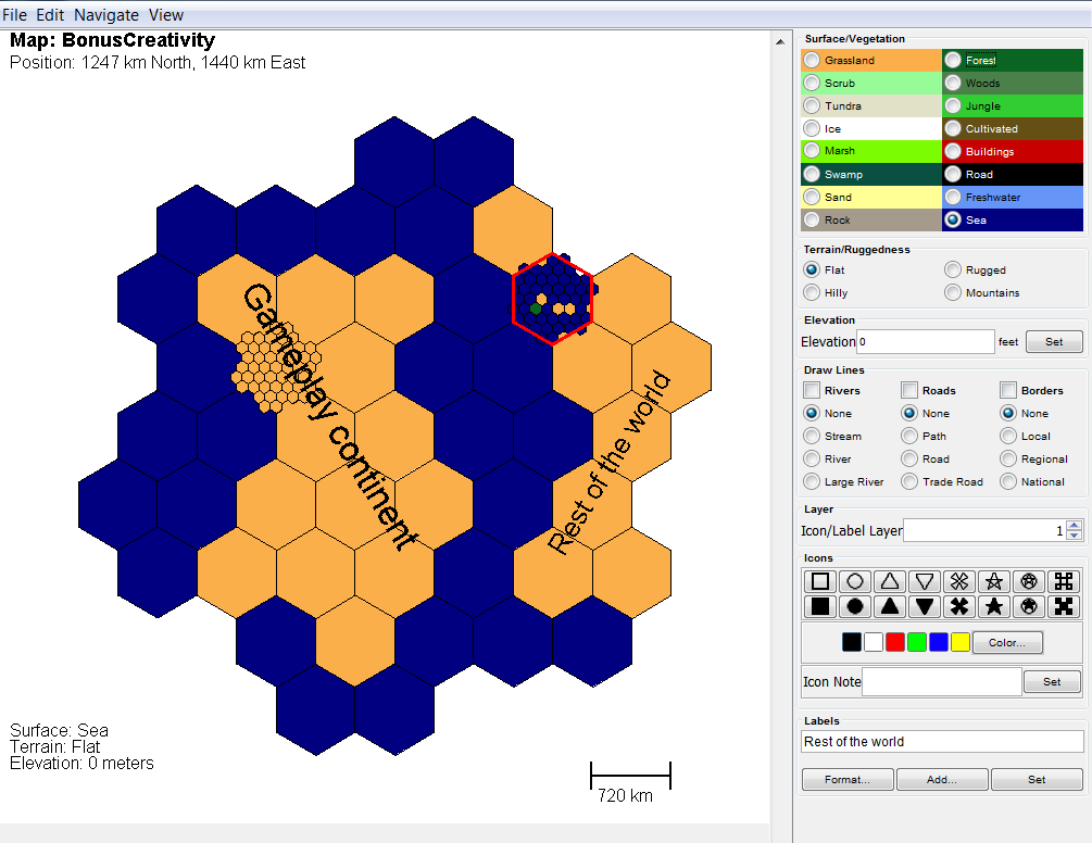
So that’s our world (helpfully labelled by the software) at the higher level, or lowest resolution. As we add in detail at the lower levels, the higher-level maps will adjust to reflect the changes. For instance, if I add a grassland-and-forest subcontinent at the second-highest level in the rightmost ocean hex in the third row, here’s how it’ll appear on our top-level map.
So that’s how we’ll build our maps. Obviously, doing every single high-resolution hex is way too much work at first, but we’ll take it one step at a time.
Next time, we’ll focus on one of those big hexes and start drilling down.
